Vegetation Management
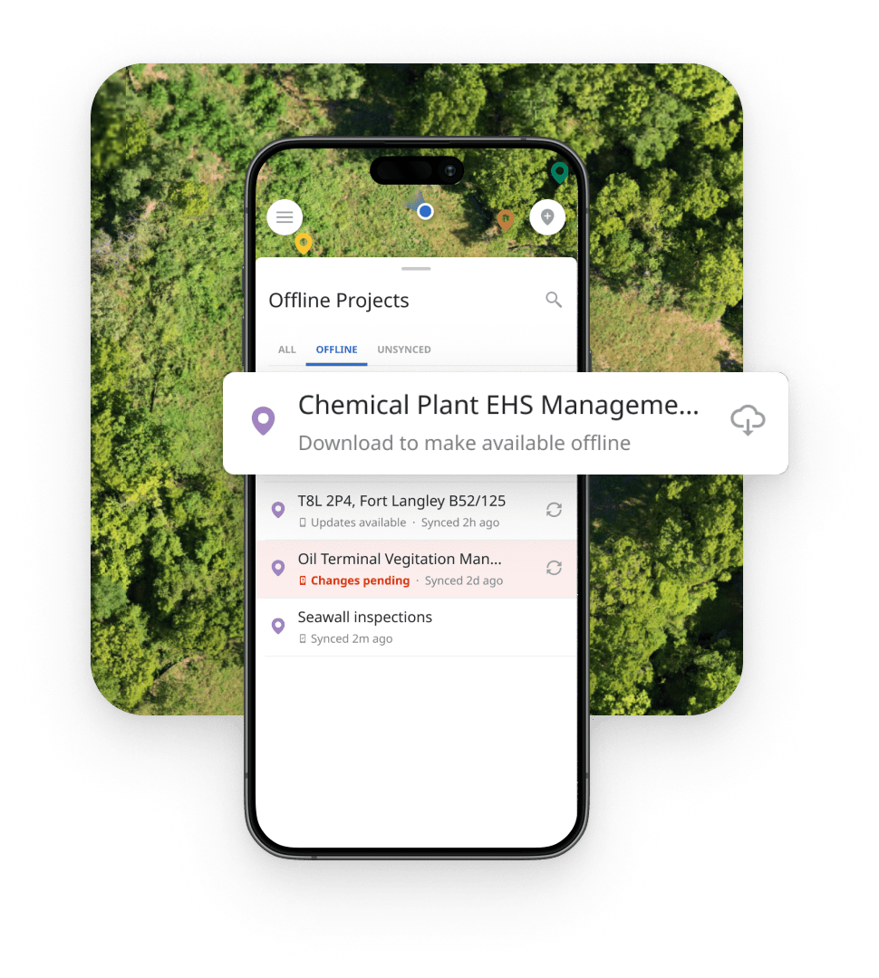
Effectively managing vegetation projects requires a sophisticated approach to data management, field monitoring, and team coordination. Matidor offers an advanced platform designed to streamline vegetation management through powerful tools and GIS capabilities. With Matidor, you can centralize project data, enhance communication, and utilize advanced mapping features to improve decision-making, logistics, and project outcomes.
Matidor’s software is crafted to meet the complex needs of vegetation management projects. Our intuitive system combines user-friendly interfaces with robust functionalities, making it easier for teams to manage projects, track progress, and maintain oversight. Whether you’re handling large-scale vegetation assessments or coordinating multiple field teams, Matidor’s platform ensures that all aspects of project management are handled efficiently and effectively.
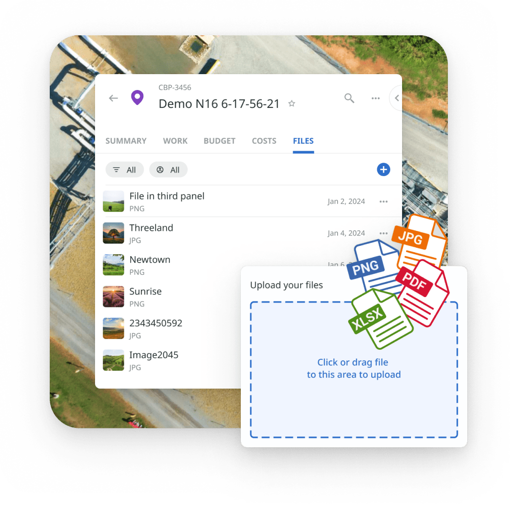
Managing diverse data sources can be challenging. Matidor provides a holistic approach by integrating all project data into a single source of truth. This centralized data management allows for accurate tracking, reporting, and analysis, ensuring that you have the most reliable information at your disposal. By consolidating data from various sources, Matidor helps eliminate inconsistencies and supports informed decision-making.
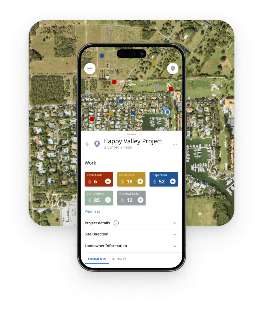
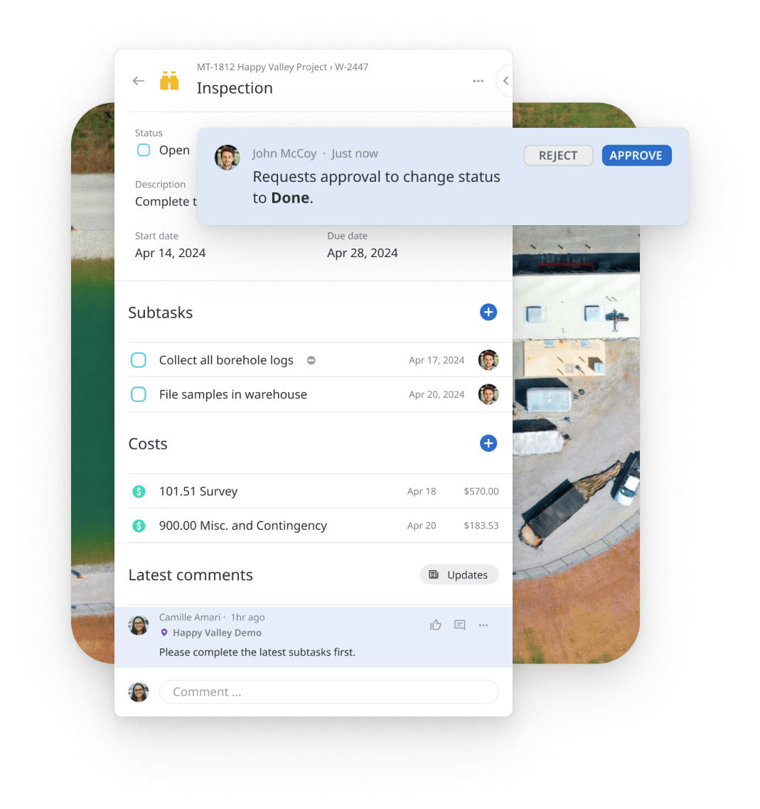
Matidor serves as a comprehensive platform for organizing and overseeing vegetation management projects. From creating detailed project plans to assigning tasks and tracking progress, our system facilitates seamless project management. The platform supports real-time updates and task management, allowing for effective oversight and timely adjustments. Additionally, Matidor’s collaboration tools ensure that communication between internal teams and clients remains transparent and aligned.
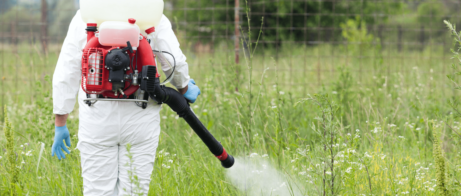
Efficient data collection and reporting are crucial for successful vegetation management. Matidor simplifies this process with advanced tools that support customizable data collection forms, precise GPS mapping, and visual documentation. Field teams can capture detailed vegetation assessments or create spray records with ease. The collected data is synchronized automatically, facilitating real-time reporting and analysis. This streamlined approach enhances data accuracy and expedites report generation.
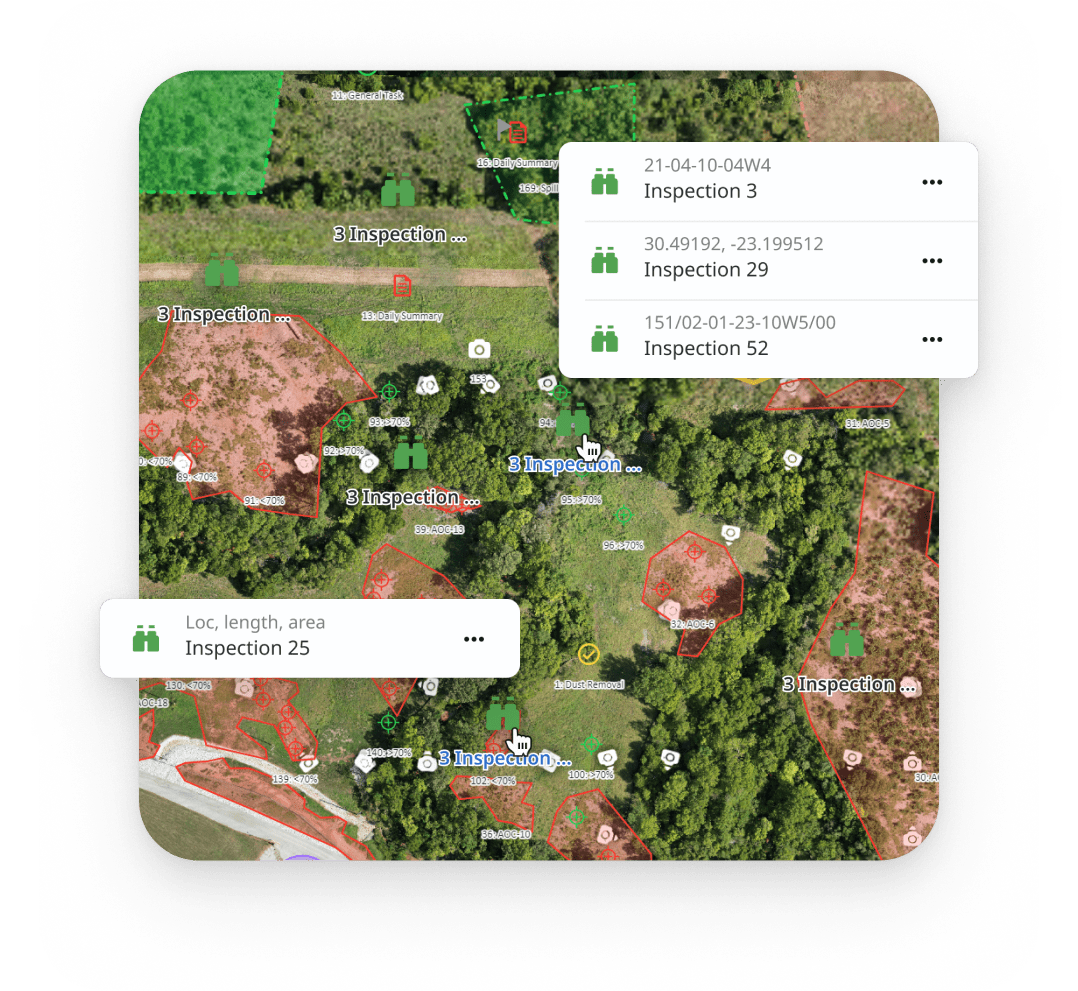
Visualization plays a key role in managing vegetation projects. Matidor’s map-based interface offers powerful GIS capabilities for spatial analysis and visualization. You can map vegetation areas with precision, view distribution patterns, and overlay data layers to gain insights into project sites. The integration of GIS tools allows for targeted vegetation treatments based on localized conditions, improving planning and execution accuracy.
Elevate your vegetation management efforts with Matidor’s advanced software. Our platform offers a comprehensive solution for project management, data collection, and GIS visualization. Contact us today to learn how Matidor can streamline your vegetation projects, enhance data accuracy, and improve overall efficiency.