Field Operations Software for Environmental and Energy Teams
Track projects, budgets, field updates, and compliance workflows on one live map, so your team can catch delays earlier, control costs, and keep every site moving.
Trusted by field operations teams across North America


.png)

.png)


.png)
.png)


A quick look at how field teams use Matidor day to day
Want a tailored walkthrough with your own projects and processes? Book a Demo →
Why field operations teams switch to Matidor
Catch budget issues before month-end
Monitor spending in real time and trigger alerts before overruns hit invoices, reporting cycles, or client conversations. No more end-of-month surprises.

Keep field and office teams in sync
Share updates, forms, photos, comments, and site activity in one place instead of chasing emails, texts, and spreadsheets that fragment your operational picture.

Scale beyond spreadsheet project management
Manage dozens of active sites with one live operational view, standardized workflows, and portfolio-level visibility that scales without adding headcount.
Everything your team needs to run multi-site field operations with less friction
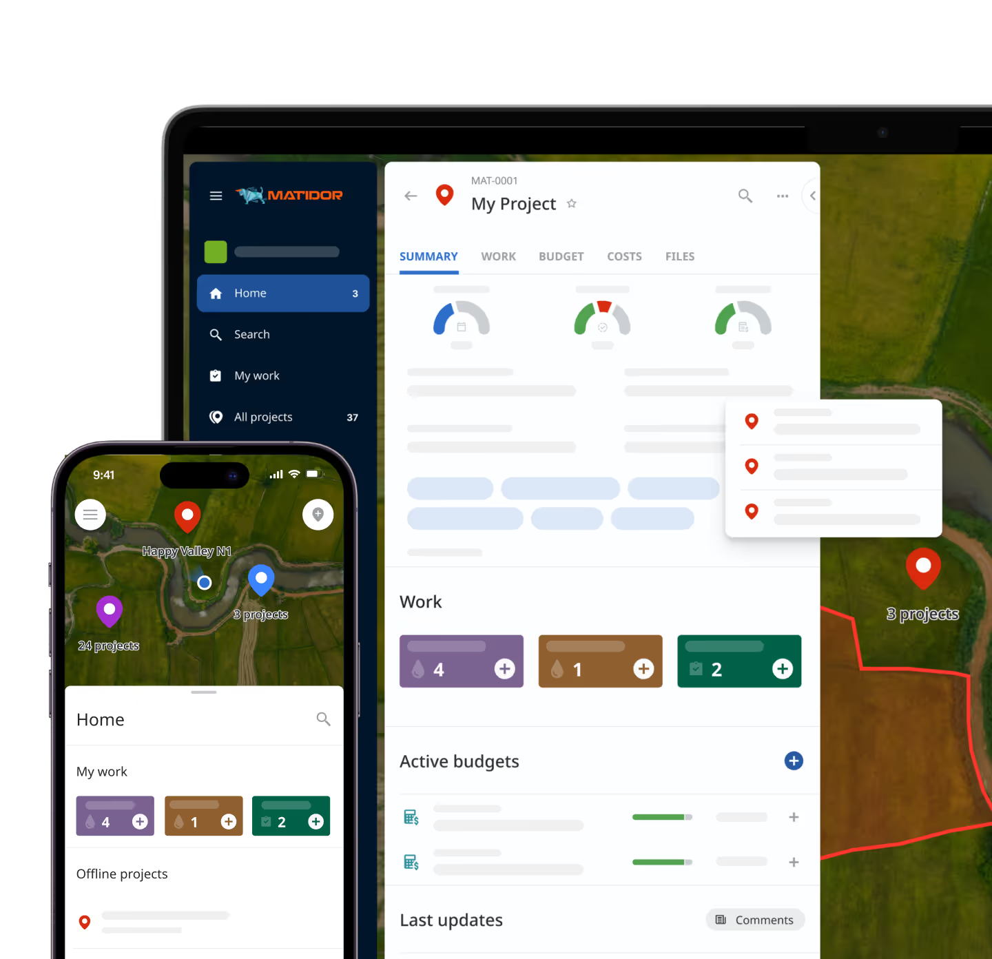
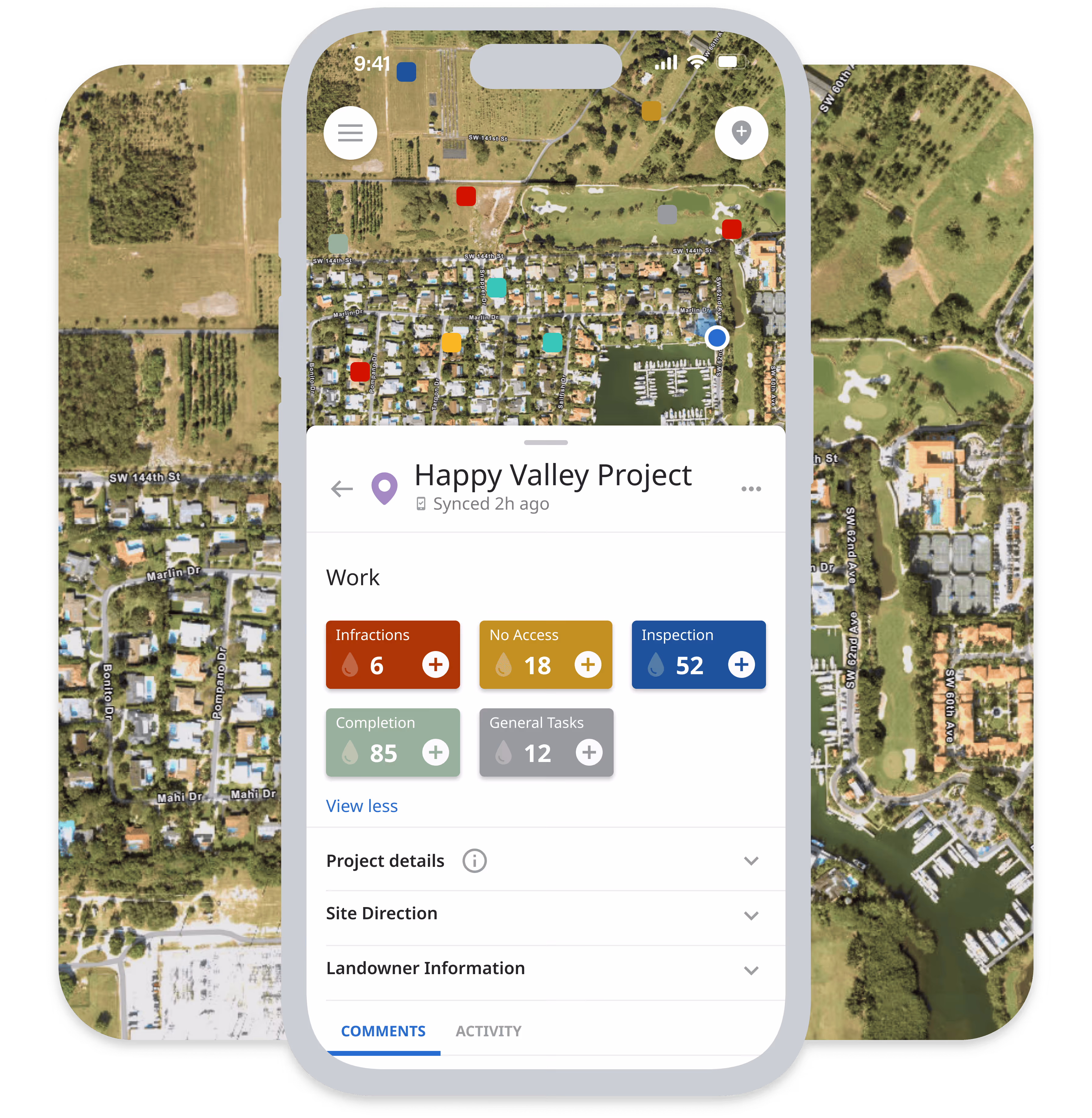
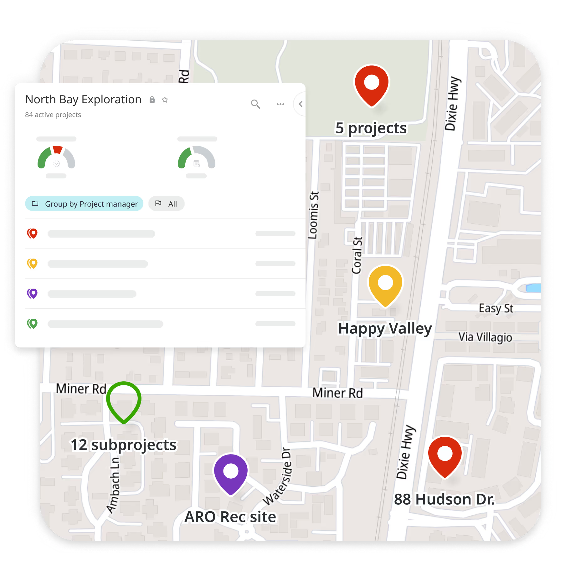
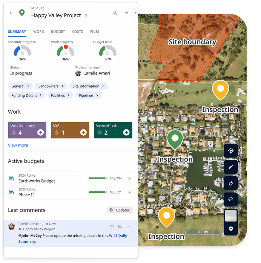
See portfolio health instantly
Visualize every project on one live map with status, ownership, and location context, so teams can prioritize faster and coordinate nearby work more effectively. Eliminate the status update meeting.

Control Budgets Before They Drift
Track field costs in real time and receive automated alerts when projects approach key thresholds. Catch overruns before they reach the approval cycle.

.avif)
Keep Remote Teams Productive Offline
Capture field data, forms, notes, and photos without connectivity. Data syncs automatically when teams reconnect — no re-entry, no lost records, no data gaps from remote sites.

.png)
Standardize How Work Gets Done
Use repeatable workflows, forms, and permissions to keep projects consistent across teams, clients, and regions. Reduce onboarding time and enforce quality without micromanagement.

Built for field-intensive teams

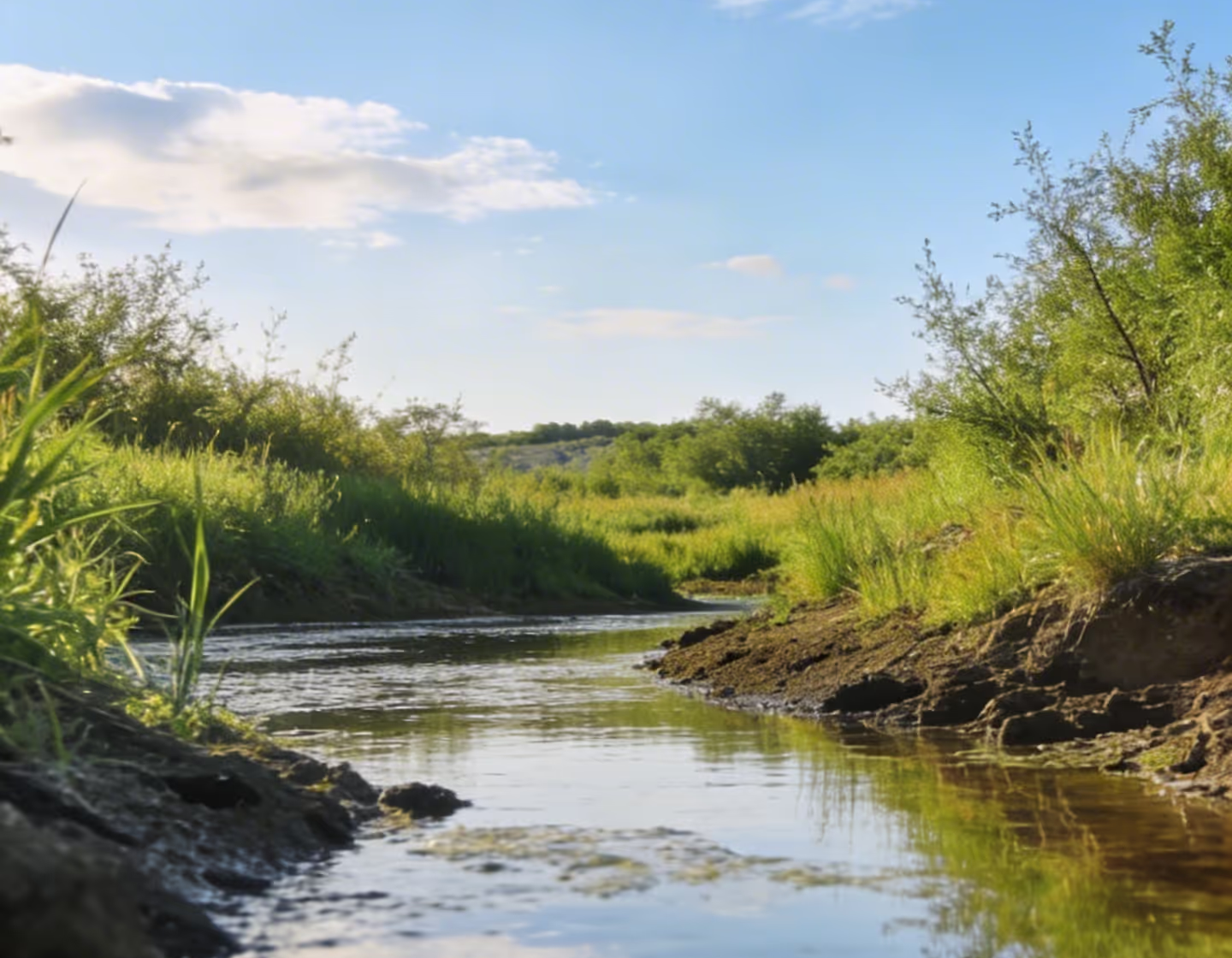
Environmental Services
Standardize site assessments, remediation tracking, compliance documentation, and multi-client project visibility across your consulting practice. See why environmental teams across Canada use Matidor to replace disconnected tools.
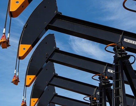
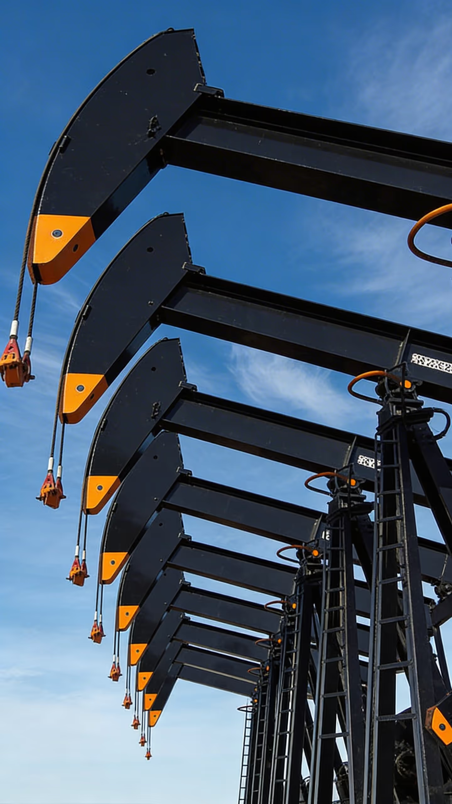
Oil and Gas Operations
Track wellsites, AFEs, inspections, budgets, and field activity across distributed operations. Get real-time visibility into spend and progress without waiting for field reports to come in.

Everything Buyers Usually Ask, Answered Early

Works Offline

Integrates with Your Stack

Fast to Deploy Easy to Start

Enterprise-Grade Security
What Customers Say


Frequently Asked Questions
Matidor is built for field-intensive teams that manage multiple sites, budgets, and workflows across environmental services, oil and gas, and other distributed operations. The platform combines project visibility, field coordination, and budget tracking in one live map-based system.
No. Matidor is designed to work alongside systems such as QuickBooks Online, Deltek Vantagepoint, Harvest, and Replicon. It adds real-time field and project context without forcing you to replace your current system of record.
Most companies are operational within 4 to 6 weeks, and many teams can begin with a basic environment in days. The timeline depends on workflow complexity, integrations, and rollout scope.
Learn more about onboarding →
Yes. Matidor is designed for teams managing large portfolios of active sites and projects. It gives managers a single live view across locations, budgets, field updates, and next actions so teams do not have to rebuild reporting from disconnected tools.
Matidor offers learning resources, video tutorials, documentation, and support options to help teams onboard successfully and improve adoption over time. Support content is available through the resources and support areas of the site.
No. Matidor supports both growing teams and larger operations. Smaller organizations can use it to standardize workflows early, while larger teams can use it to coordinate more sites, more stakeholders, and more complex reporting requirements.
See Matidor with your workflows, not a generic demo
Book a Demo
See how Matidor handles your specific workflows and operational scenarios.
You'll See:
- Your projects displayed on interactive maps
- Real-time budget tracking with automated alerts
- Offline mobile workflows for field teams
- Portfolio dashboards for complete visibility
Start Free Trial
Get full platform access immediately. Import your projects, test mobile apps, see results with your data.
What's Included:
- Full access to all features
- Live chat support during trial
- No credit card required
- Cancel anytime