How West Country Energy Services Replaced Aging GIS Software and Brought Their Team Back to Business Hours

Company: West Country Energy Services
Industry: Pipeline Integrity and Field Services
Location: Red Deer, Alberta

See how Matidor works for oil and gas sustainability and reclamation teams.

Great system, very easy to use in house and with consultants. Very intuitive and easy to manage.
Sustainability Team
Karve Energy Inc.
Industrial pipeline running across green rolling hills toward mountain terrain, representing West Country Energy Services field operations in Western Canada and the GIS project management modernization achieved with Matidor.

The Company

West Country Energy Services is a proudly Canadian-owned field services company with over 24 years of experience serving the oil and gas and utility sectors across Alberta and Saskatchewan. Headquartered in Red Deer, Alberta, they are one of Canada's largest vegetation management providers and a trusted name in pipeline integrity, natural gas leak detection, LDAR surveys, and emissions management.

West Country operates year-round across some of Western Canada's most remote pipeline corridors. Their teams include field technicians conducting ground-level surveys, and a back-office operations group responsible for data processing, reporting, and client deliverables. Coordinating both groups accurately and efficiently is core to delivering on their service commitments.


Modern glass office tower photographed from ground level against a dusky sky, representing West Country Energy Services headquarters in Red Deer, Alberta, a Canadian field services company providing vegetation management, pipeline integrity, and emissions management across Alberta and Saskatchewan.
A person working alone at a desk in a dark office late at night, surrounded by documents and lit only by a desk lamp and computer screen, representing the challenge West Country Energy Services faced before Matidor when managers and foremen were reconciling field documentation past 2 a.m. due to aging GIS software and manual data processes.
Matidor is a GIS solution that we use to collect and track survey data on natural gas line inspections. You're doing things the hard way if you're still on spreadsheets.
Andrew Morley, Manager of Pipeline Integrity and Emissions
West Country Energy Services

The Challenge

West Country had been relying on a combination of spreadsheets and offline GIS applications that had aged well past their useful life. The GIS platform lacked developer support, required constant workarounds, and created daily friction for field crews who were troubleshooting software bugs instead of completing survey work.

The impact on the back office was just as significant. Managers and foremen were manually reconciling documentation well into the night - sometimes past 2 a.m. - to keep up with what crews had completed. Missed services and duplicated entries were slipping through, creating errors in client deliverables and additional rework.

The core problems:

  • Aging offline GIS apps with recurring bugs and no developer support
  • Field technicians spending time on software workarounds instead of survey completion
  • Managers and foremen processing documentation past 2 a.m.
  • Missed services identified after the fact, requiring rework
  • No shared visibility across surveyors working simultaneously on the same project
  • Multi-step upload process through Dropbox creating sync delays.

Why Matidor

West Country needed a platform built for field-intensive operations - one that would work offline in remote corridors, give the back office live visibility into field progress, and replace the patchwork of disconnected tools they had outgrown.

Matidor's GIS-native design matched how their team already thinks about work: geographically. The ability to see every surveyor's progress on a shared live map, assign tasks directly to field technicians, and sync data with a single button tap addressed every layer of the problem - from the field crew to the back office.

The Solution in Action

Replacing Disconnected GIS With a Unified Field Platform

All survey data that West Country's field technicians handle is now collected and compiled in Matidor. Custom forms are preloaded on mobile devices before crews head out. Work happens fully offline in areas with no cellular coverage and syncs in a single tap when connectivity returns - replacing a multi-step Dropbox upload process that had been a persistent friction point.

Industrial pipeline running alongside a gravel access road through a remote mountain valley with dense forest, representing the type of remote pipeline corridor where West Country Energy Services field technicians use Matidor's offline mobile data collection to complete surveys without cellular coverage.
Every site that is in rem/rec stage is in Matidor, along with what's been done and what stage of rec it sits at.
Sustainability Team
Karve Energy Inc.
It is much more manageable within our department but also with our consultants. We can see the day to day activity.
Sustainability Team
Karve Energy Inc.
Hand holding a smartphone showing the Matidor mobile app with a project list and aerial map view with colour-coded location pins, representing how West Country Energy Services technicians use Matidor's shared live map to track survey coverage, spot missed segments, and keep all surveyors aligned across large pipeline corridors.
Helped us spot missed services and assign tasks to handle them.
Andrew Morley
Manager of Pipeline Integrity and Emissions

Shared Map Visibility Across All Surveyors

With multiple technicians surveying simultaneously across large pipeline corridors, tracking who had covered which segments and where gaps existed had been a persistent challenge. Matidor's location intelligence gives the entire team a shared live map of completed and outstanding work. Missed services are now spotted proactively, and tasks are assigned and tracked directly in the platform before they become compliance issues.

Task Assignment and Year-Long Project Tracking

West Country uses Matidor's project management tools to manage multi-month inspection programs from a single dashboard. Managers assign tasks to individual technicians, track completion status in real time, and monitor team productivity without waiting for end-of-day reports - replacing verbal follow-up and manual check-ins that had been consuming significant management time.
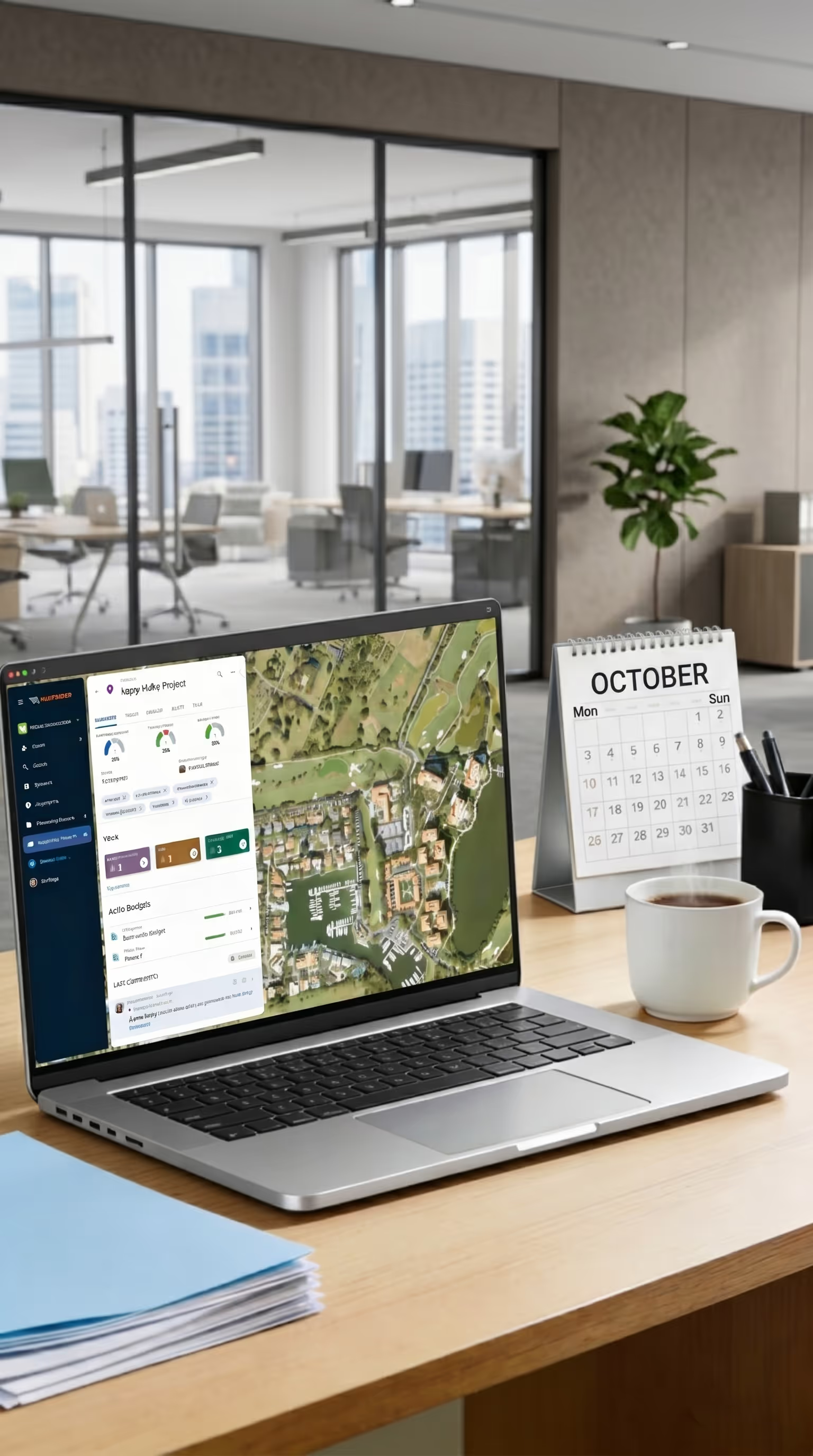
Laptop displaying the Matidor project management dashboard with an aerial map, budget indicators, and task tracking panel on an office desk, representing how West Country Energy Services managers use Matidor to assign tasks, track field technician progress, and monitor multi-month inspection programs from a single dashboard without manual check-ins.
Last year we had planned to complete 8 remediations. But as we watched the budget on one of our remediations continue to climb, we were able to pivot and cancel almost all our rems for the year.
Sustainability Team
Karve Energy Inc.
Person reviewing bar chart and analytics dashboards on a tablet with a data analytics monitor in the background, representing how West Country Energy Services uses Matidor to aggregate count data from multiple field surveyors in minutes rather than hours, replacing a manual back-office process for faster client reporting.
Helped us spot missed services and assign tasks to handle them.
Andrew Morley
Manager of Pipeline Integrity and Emissions

Count Data in Minutes Instead of Hours

Aggregating count data from multiple surveyors previously required a manual process that could take an hour or more per cycle. With Matidor, the same aggregation now takes a few clicks. Survey data captured in the field is immediately available for reporting, reducing one of the most time-consuming back-office tasks in their workflow.

Standardized Data Collection With Custom Forms

West Country collects data across multiple service lines - natural gas leak detection, LDAR surveys, pipeline integrity inspections, and right-of-way assessments. Matidor's custom forms within the field operations module let them standardize data capture for each service type. Every entry is GPS-tagged automatically, giving the back office location context on every data point without additional effort from field crews.
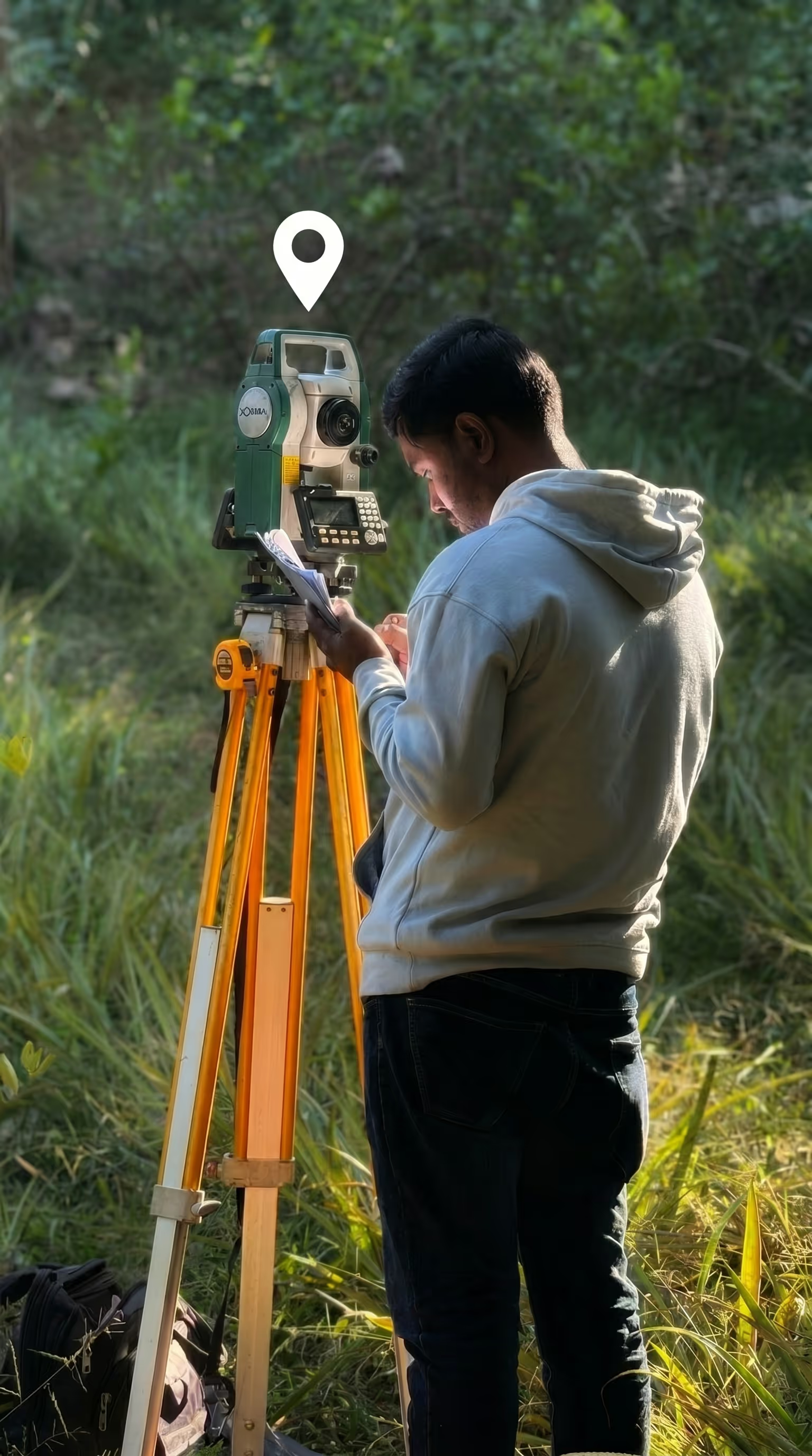
Field technician operating a total station survey instrument in a grassy field with a GPS location pin icon overhead, representing how West Country Energy Services uses Matidor's custom forms and GPS-tagged data capture to standardize field data collection across natural gas leak detection, LDAR surveys, and pipeline integrity inspections.
Last year we had planned to complete 8 remediations. But as we watched the budget on one of our remediations continue to climb, we were able to pivot and cancel almost all our rems for the year.
Sustainability Team
Karve Energy Inc.

Results and Impact

A team of colleagues gathered around a wooden table for a relaxed discussion in a modern office, representing the operational improvement West Country Energy Services experienced with Matidor, which eliminated after-hours data processing and returned the team to normal business hours.
Used to work until 2am on documents. We're now within business hours for the most part.
Andrew Morley
Manager of Pipeline Integrity and Emissions, West Country Energy Services

West Country does not yet have formal metrics to report, but the operational improvement has been significant and team-wide.

The shift back to business hours is the clearest measure of how much manual processing burden Matidor removed. For a team doing year-round fieldwork across remote corridors, reclaiming that time has a direct effect on sustainability, retention, and the quality of work delivered to clients.

Area
Before Matidor
With Matidor
Documentation hours
Past 2 a.m. regularly
Within business hours
Count data aggregation
Up to one hour per cycle
A few clicks
Field data sync
Multi-step Dropbox upload
Single button tap
Missed services
Found after the fact
Spotted proactively on the map
Surveyor visibility
No shared view
Real-time shared map
Task assignment
Verbal and email
In-platform with tracked completion

Related Customer Stories

Aerial view of Peyto Lake in the Canadian Rockies used as the cover image for a Matidor field operations case study.

How Peyto Replaced Spreadsheets with Matidor

See Case Study →Learn More
Oil pump jacks at sunset on an energy services field site used as the cover image for a Matidor Karve Energy GIS software case study.

How Karve Energy Uses Matidor to Track Every Dollar in the Field

See Case Study →Learn More
Wetland and grassland field site at golden hour used as the cover image for a Matidor Earthmaster Environmental Consulting project and budget management case study.

How Earthmaster Environmental Consulting Modernized Project and Budget Management

See Case Study →Learn More
Pipeline running through a mountain valley used as the cover image for a Matidor West Country Energy Services field cost tracking case study.

How West Country Energy Services Replaced Aging GIS Software and Brought Their Team Back to Business Hours

See Case Study →Learn More
Cleared forestry and land resource site with tree stumps and evergreen trees in the background used as the cover image for a Matidor NorthWind Land Resources field workflow case study.

How NorthWind Land Resources Centralized Field Workflows and Stopped Budget Overruns

See Case Study →Learn More
Misty mountain forest at sunrise used as the cover image for a Matidor Project Forest reforestation project management case study.

From Excel to Live Map: How Project Forest Manages Reforestation Projects With Matidor

See Case Study →Learn More

About Matidor

Matidor is a GIS-native field operations platform built for oil and gas, environmental services, and multi-site operations. The platform unifies project management, real-time budget tracking, location intelligence, and offline-first field data capture into one easy-to-use system, giving operations teams complete visibility from the wellhead to the boardroom. Unlike generic project management tools or enterprise ERP systems, Matidor is purpose-built for field-intensive industries, with a typical onboarding timeline measured in weeks, not months. Track every project, dollar, and site in real time. Book a Demo