How RidgeLine Canada Built a Custom Data Aggregation Solution for Multi-Source Environmental Site Data in Under Two Months
Company: RidgeLine Canada Inc.
Industry: Environmental Consulting, Remediation, Reclamation, Emergency Spill Response
Contact: Michelle Willms, Project Manager
Location: Calgary, Alberta, Canada
See how Matidor works for environmental consulting and remediation teams.


The Company
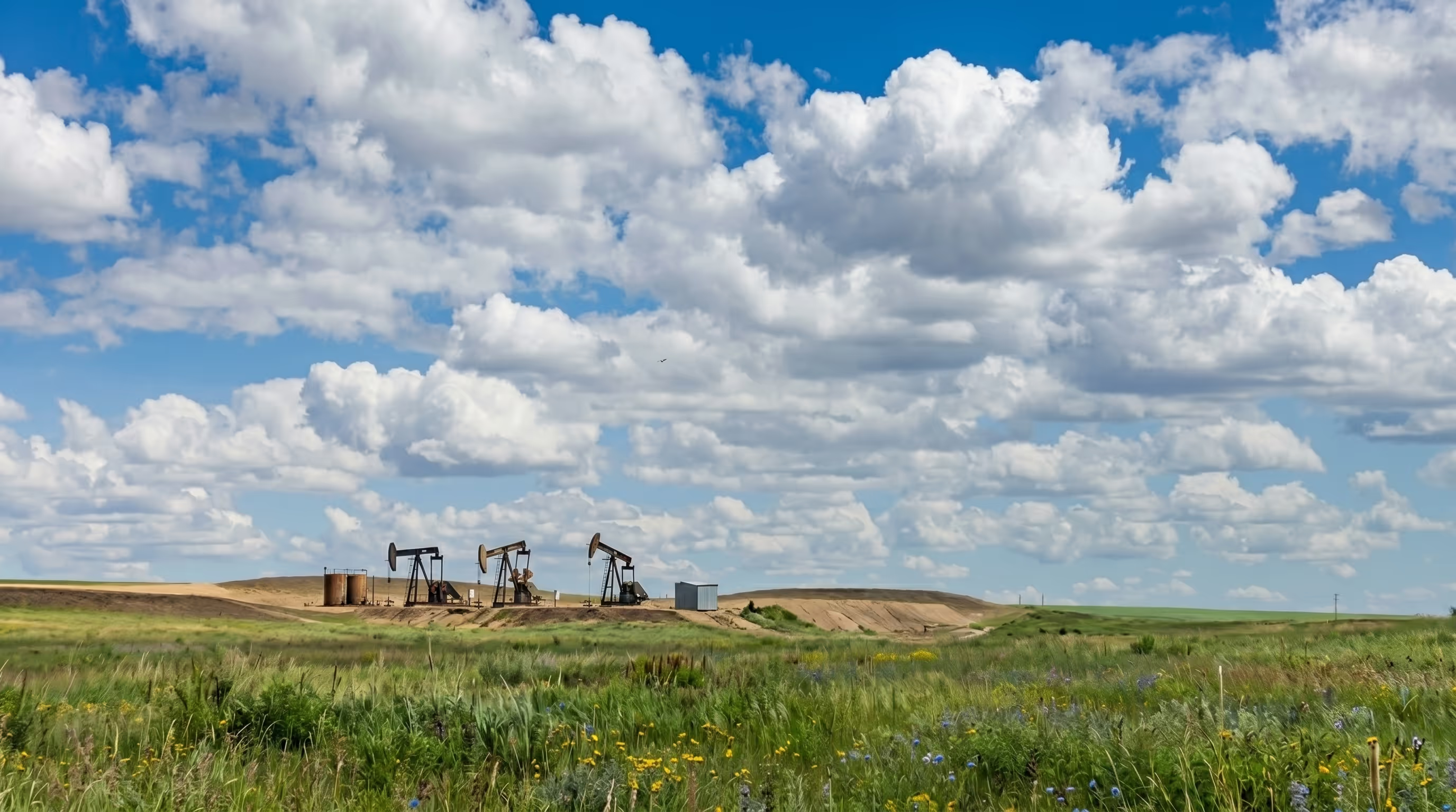
RidgeLine Canada Inc. is a Calgary-based environmental services firm with over 20 years of experience serving the western Canadian oil and gas industry. The company provides environmental site assessments, remediation and reclamation, emergency spill response, and waste management services across Alberta and beyond.
Managing environmental projects at RidgeLine means coordinating data across multiple active sites, tracking costs against client budgets, and delivering clear, accurate project status updates on demand. With a client base that includes oil and gas producers operating across large, geographically distributed portfolios, the ability to pull a complete picture of any project quickly and accurately is central to the firm's service delivery.


The Challenge
Before adopting Matidor, RidgeLine Canada managed project data across multiple spreadsheets. As the number of active projects grew, keeping those spreadsheets current became increasingly difficult. Aggregating data from across them to build a complete view of project status or costs required manual effort every time a client update was needed.
The operational impact was consistent and team-wide:
- No single source of truth for project status, cost tracking, or site information.
- Significant time spent pulling data from multiple spreadsheets to respond to client questions.
- Manual data aggregation that increased the risk of errors and inconsistencies in client-facing reports
- Frustration across the team from working with fragmented, hard-to-navigate data.
- No geographic view of active projects, making it difficult to group nearby sites for efficient field planning and travel
For an environmental consulting firm where client communication and cost transparency are core deliverables, a system that required hours of manual consolidation for every update was not sustainable.
Why Matidor
Matidor stood out as the only platform that brought project management, cost tracking, location intelligence, and customization capability together in a single, accessible interface. The team also placed significant weight on Matidor's flexibility: the ability to configure the platform to match their specific workflows rather than forcing their processes to fit a fixed structure.
Michelle WillmsProject Manager, RidgeLine Canada Inc.
Matidor's features mapped directly to RidgeLine's needs:

Real-time cost tracking across consultants

Centralized project visibility

GIS site mapping

Consultant coordination

Field data capture

Reporting
The Solution in Action
A Single Source of Truth for Project Status and Costs
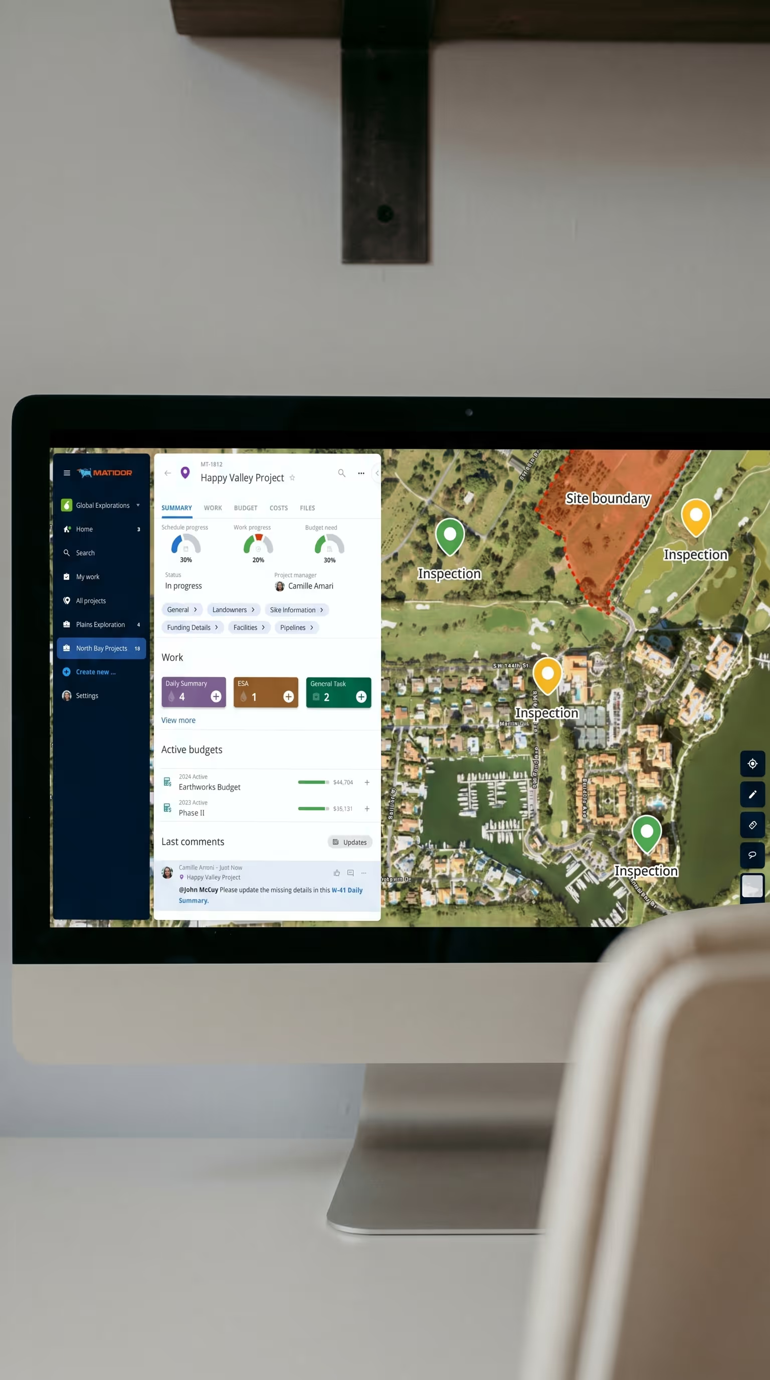
Matidor became RidgeLine's daily operational hub. Instead of opening multiple spreadsheets and manually pulling figures, the team now opens Matidor to see up-to-date spend across all active projects and communicate status to clients in real time. The shift from fragmented data to a centralized live view eliminated the manual reconciliation that had been consuming significant project management time.
Custom Third-Party Integration
A significant part of RidgeLine's Matidor implementation involved building a custom integration with a third-party platform. This required close collaboration between RidgeLine and the Matidor development team. Regular check-ins were held throughout the build process to ensure the solution matched RidgeLine's exact requirements, and the in-app support chat was used continuously for real-time troubleshooting throughout implementation.
One incident during the integration process tested the partnership directly. When RidgeLine accidentally deleted a critical piece of information from Matidor, the support team restored it within a day, a response that reinforced the team's confidence in the platform and the relationship.
Map-Based Field Planning and Geographic Grouping
Matidor's location intelligence module gave RidgeLine's team a geographic layer on top of their project data. Field teams can now plan site visits by location, grouping nearby projects together to reduce unnecessary travel between sites. What had previously required manual cross-referencing of site lists is now visible at a glance on a shared live map.


Team-Wide Accessibility
Beyond the efficiency gains for project managers, Matidor improved how data was accessed across the whole RidgeLine team. Because the platform presents information in a consistent, easy-to-navigate format, team members at every level can look up project status or cost data without needing a project manager to pull a report for them.
Results and Impact
Results and Impact
Those three descriptors map directly to how the platform delivered value: a responsive support and development team, a configurable platform that bent to RidgeLine's workflows, and a robust feature set that replaced multiple disconnected tools.

When asked why she would recommend Matidor to peers, Michelle's answer was direct:
"I would definitely recommend this solution to other companies looking for this type of software because it's a well-rounded solution that is easy to learn and implement, with an extremely high level of customer service."
Related Customer Stories
How Earthmaster eliminated missed sites and cost overruns with configurable budget alerts and team-wide project visibility.
See Case Study →Learn More
How Peyto replaced spreadsheet-based ARO tracking with real-time cost visibility and GIS mapping across a growing post-acquisition portfolio.
See Case Study →Learn More