How Pease Park Conservancy Replaced Pen-and-Paper Park Management With a Live Map-Based Operations Platform
Company: Pease Park Conservancy
Industry: Nonprofit, Urban Parks, Environmental Stewardship
Contact: Nick Boysen, Conservation Coordinator
Location: Austin, Texas, USA
See how Matidor works for parks, conservancies, and environmental stewardship teams.


The Company
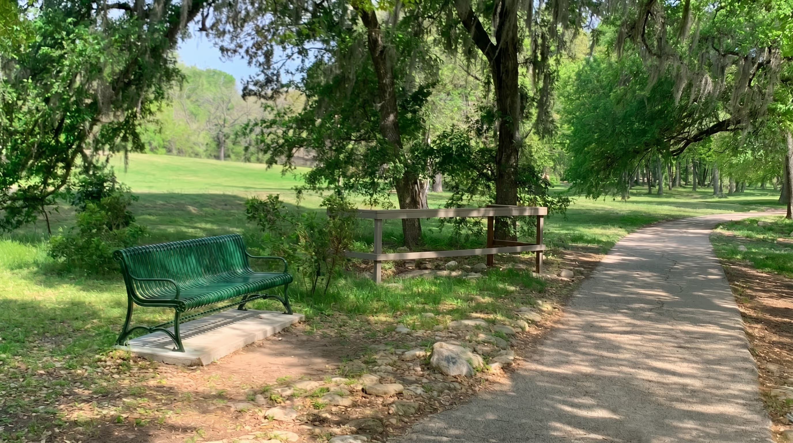
Pease Park Conservancy is a nonprofit organization responsible for restoring, enhancing, and maintaining Austin's first public park, an 84-acre urban green space that runs along Shoal Creek in the heart of the city. The Conservancy works in partnership with the City of Austin to steward the park's ecology, history, and public accessibility for the surrounding community.
The park's staff manages a wide range of ongoing field activities: tracking and removing invasive species, maintaining native plantings, monitoring wildlife, responding to graffiti and vandalism, and coordinating regular maintenance across a large, open-access landscape. Because Pease Park has no gates or barriers, foot traffic continues around the clock, and staff are required to respond to field conditions that can change at any time across a large and varied terrain.


The Challenge
Before Matidor, park staff relied on pen and paper and their own memory to manage field operations. Team members had developed an impressive ability to recall and describe specific locations by name, but translating that knowledge into organized, shareable, actionable records was inefficient and time-consuming. There was no reliable way to log where an issue was found, assign follow-up tasks, or communicate location-based information between staff members working in different parts of the park.
The absence of a spatial system meant that issues could not be easily tracked from discovery to resolution. Staff could identify a problem and describe where it was, but without a map-based record, there was no way to ensure it was followed up on, prioritized, or handed off cleanly to another team member.
A real-world example illustrated the gap clearly. During a Matidor team visit to the park, a baby tortoise was spotted near one of the pathways, clearly not a native species. Someone had abandoned the animal in the park. Without a way to log its exact location, assign a task, and notify the right staff member in real time, the tortoise could not be tracked down. Despite follow-up efforts, it was never located.
The City of Austin had recommended a conventional GIS platform, but as a lean nonprofit organization, Pease Park did not have the budget to hire a GIS specialist or invest in complex training. They needed something that was map-based, affordable, and fast to adopt.
Why Matidor
Matidor's features mapped directly to Pease Park's needs:

Accessible pricing and setup

Reporting

GIS site mapping

Task management

Field data capture

Centralized project visibility
The Solution in Action
Map-Based Field Operations Across 84 Acres
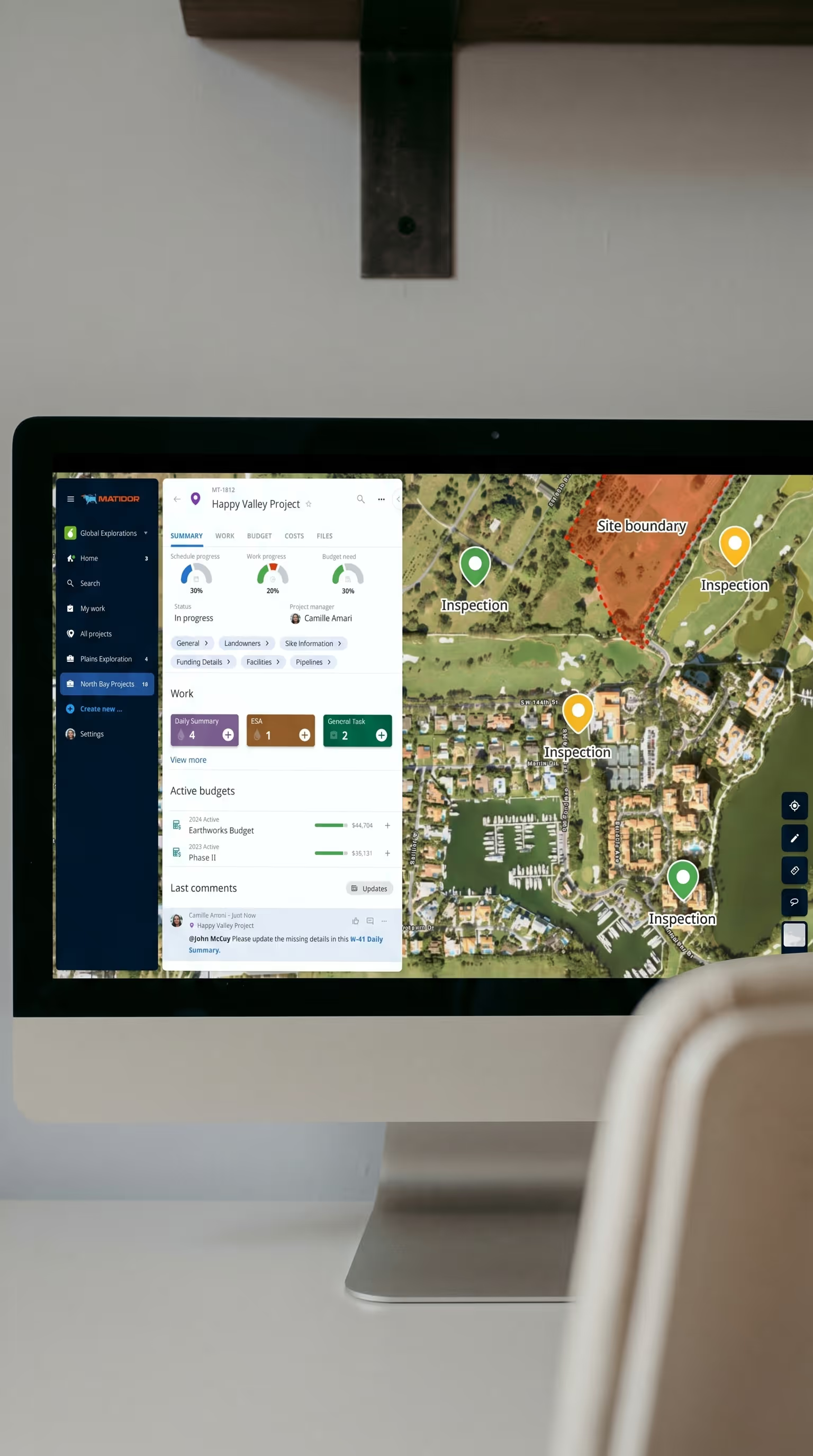
Park staff now use Matidor's field operations module to record, track, and resolve field issues on a live map in real time. When a staff member spots an invasive species, a graffiti incident, a maintenance need, or any other point of interest, they log it directly on the map from their mobile device on the spot. The record is stored instantly in a cloud database, visible to the whole team, and available for follow-up without any additional data entry or paperwork.
Task Templates for Multiple Work Types
One of the most important features for Pease Park was the ability to distinguish between different categories of tasks. The team tracks routine maintenance like plant watering alongside reactive work like graffiti removal. These require different workflows, priorities, and follow-up steps, and treating them as the same type of task created confusion.
During onboarding, the Conservancy flagged this limitation. Matidor prioritized the development of a Task Templates feature, delivering a solution within a few weeks. Within two months of onboarding, the team had expanded their usage and invited additional staff members into the platform.
Consolidated Site Plans and GIS Layers
Pease Park can upload existing site plans and GIS layers directly into Matidor, viewing them all together in a single interface rather than jumping between multiple systems. This gives staff spatial context alongside their active task list, making it easier to plan fieldwork, prioritize locations, and understand how different areas of the park relate to each other.

Invasive Species Project Management
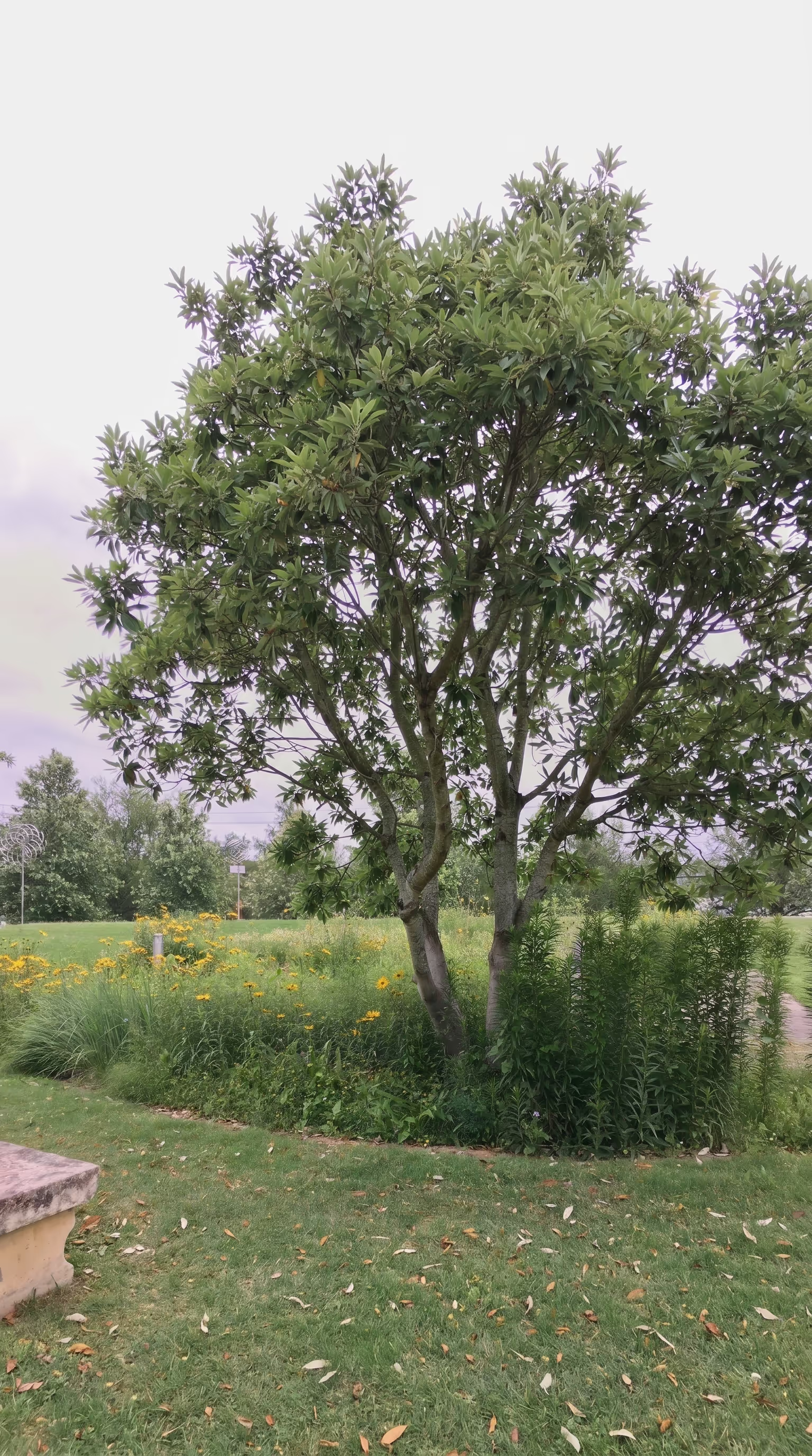
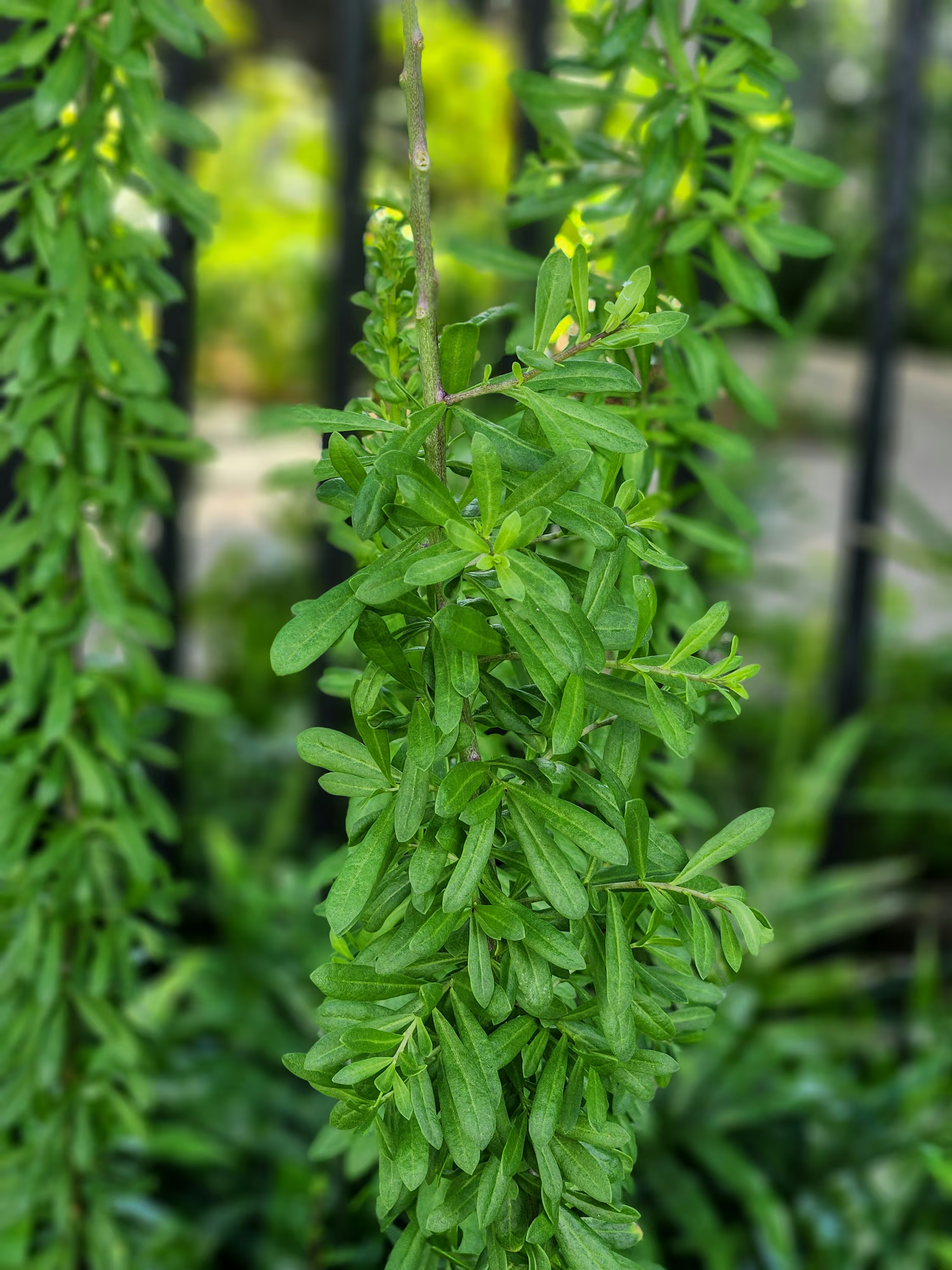
The Conservancy used Matidor to develop a dedicated invasive species project for the park, mapping known locations, tracking removal activities, and monitoring progress across different zones of the parkland. This kind of structured, location-based project was not possible with pen and paper and would have required specialist GIS software and expertise to implement with a conventional platform.
Results and Impact
Results and Impact

From Hours to Minutes: How Pease Park Runs Smarter Field Operations With Matidor
The Conservancy described Matidor in three words: Modern, Versatile, Attentive. The "attentive" descriptor was a direct reference to how Matidor responded during onboarding, prioritizing product development to meet the team's specific needs rather than asking them to adapt to the tool as it existed.
Related Customer Stories

How West Country replaced aging offline GIS apps with Matidor to bring their back-office team back to business hours.
See Case Study →Learn More
How Project Forest uses Matidor's map-based platform to manage reforestation sites and communicate planting progress to their Board of Directors.
See Case Study →Learn More