From Excel to Live Map: How Project Forest Manages Reforestation Projects With Matidor
Company: Project Forest
Industry: Nonprofit, Reforestation, Indigenous-Led Conservation, Carbon Capture
Location: Edmonton, Alberta, Canada
See how Matidor works for reforestation and conservation teams.

The Company
Project Forest is a Canadian nonprofit organization founded in 2020 with a mission to rewild Canada's landscape, one forest at a time. Based in Edmonton, Alberta, the organization partners with Indigenous communities, conservation groups, private landowners, and corporate sponsors to afforest non-productive agricultural land and restore native forest ecosystems across Western Canada.
Working closely with silviculture foresters at Tree Time Services, Project Forest develops site-specific planting plans, draws on the largest privately held seed bank in Alberta to match species to sites, and manages the full project lifecycle from pooling funds to post-planting monitoring and impact reporting. The organization recently planted its one millionth tree.
With an active portfolio of planting and monitoring projects across multiple sites, and accountability to funders, board members, Indigenous land partners, and field crews, clear and accessible project data is a core operational requirement.


The Challenge
Before adopting Matidor, Project Forest was managing its entire project portfolio through Excel spreadsheets. That approach worked at a smaller scale. As the number of active sites, funders, and project stages grew, the limitations of Excel became a direct operational problem.
Excel slowed down significantly as data volumes increased. Presenting project status to the board of directors and corporate sponsors required manually translating spreadsheet data into something visually interpretable — a slow and inconsistent process. Multiple spreadsheets created data fragmentation, and that fragmentation produced errors and inconsistent reporting.
The core problems:
- Excel performance degraded as project data volumes grew
- No visual way to present project locations or progress to boards and funders
- Slow, inconsistent reporting across multiple spreadsheets
- Data errors from fragmented, manual workflows
- Difficulty communicating the story behind the data in stakeholder meetings
For a nonprofit accountable to corporate sponsors and a board of directors, the inability to show real-time, map-based project progress was more than an inconvenience. It was a gap in how the organization demonstrated impact and earned continued support.
Why Matidor
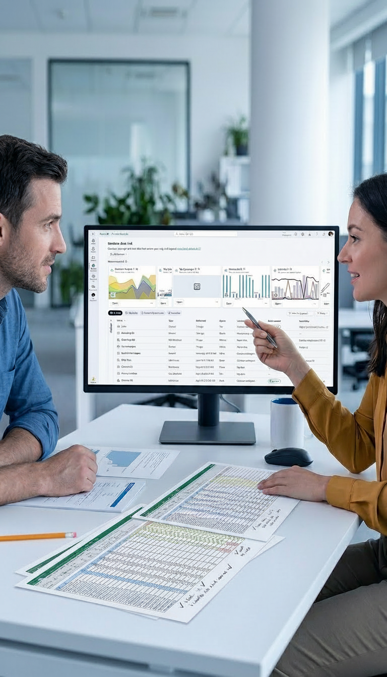
Matidor's location intelligence and GIS mapping addressed the most pressing gap directly. The ability to draw polygons on a live map, attach photos to specific locations, and show a board exactly where each project sits in its development funnel was something Excel could not replicate. Combined with portfolio and project management, budget and cost control, and field operations, Matidor gave Project Forest a complete operational system in one place.
The Solution in Action
GIS Mapping and Visual Stakeholder Presentations
Every active project is now visible as a polygon on the Matidor map, with photos, documents, and status information attached directly to each site. This transformed how Project Forest communicates with its board of directors and land partners. Instead of walking through a spreadsheet in a meeting, the team opens the map, zooms into a specific project, and shows exactly where it sits in the organization's development funnel.
The GIS capability also supports real-time field decisions. During land tours with partners, polygons are drawn directly on the map as the team walks or drives around a prospective site. That spatial data feeds immediately into planning: how many trees to request from nurseries, which species to prioritize, and how to allocate resources across the portfolio.

Portfolio and Project Management
Project Forest organizes all active work in Matidor using three main categories: Base Information, Primary Contact Information, and Project Specifics. The comments section functions as a living project log, updated daily with notes from meetings, site visits, conversations, and ideas.
Documents central to each project — including Letters of Support, Memoranda of Understanding, and monitoring photos of plant growth — are attached directly in the Files section of each project record. This keeps everything associated with a site in one place and eliminates the need to search across shared drives or email threads. Whenever a project moves into a new funnel stage, the update takes seconds.
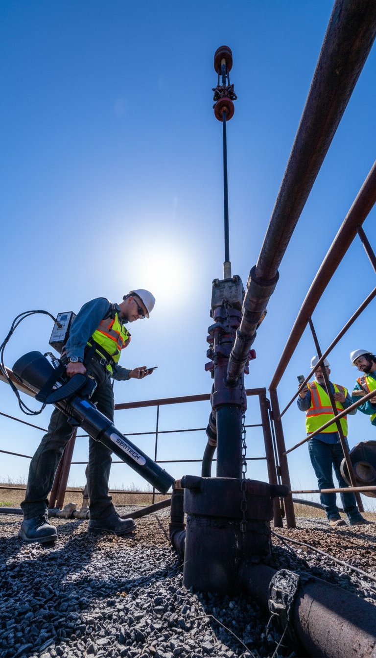
Field Operations and Monitoring Assessments
Project Forest uses Matidor's field operations module to manage the monitoring and documentation work that follows every planting. Forms in active use include Monitoring Assessments, Planting Plans, Site Point Information, and Inspections.
Tree Time staff now update data directly in the field, tied to the exact site and the exact tree. Monitoring photos of tree growth are captured through Monitoring Assessment forms, building a visual record that can be shared with funders and partners.
Budget and Cost Control
Project Forest tracks all project budgets and costs within Matidor. The platform provides the visibility the organization needs to manage funds responsibly across a portfolio with multiple funders and overlapping timelines.
Looking ahead, Project Forest is planning a Power BI integration to build an interactive executive portfolio dashboard — a request already coming from corporate sponsors who want a single, real-time view of costs and project performance across the entire portfolio.
Results and Impact

Since adopting Matidor, Project Forest has seen direct improvements across reporting speed, project coordination, and stakeholder communication.
Time saved, faster reporting, and ease of project handling are the measurable outcomes Project Forest's team describes since adopting Matidor. The scale of improvement is described as 10x faster and more efficient.
Related Customer Stories

How West Country Energy Services Replaced Aging GIS Software and Brought Their Team Back to Business Hours
See Case Study →How NorthWind Land Resources Centralized Field Workflows and Stopped Budget Overruns
See Case Study →