.webp)

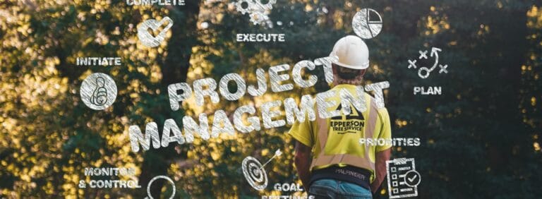
Overview
In 2020, Project Forest planted its first tree on a non-productive agricultural site in Alberta. On May 22, 2026, the organization celebrates planting its one millionth tree.
That milestone represents five years of partnership between Indigenous communities, silviculture foresters, municipalities, corporate sponsors, and conservation groups working together to rewild Canadian landscapes. It also represents a fundamental operational shift: from managing planting sites in Excel spreadsheets to running a live, map-based field operations portfolio in Matidor.
About Project Forest
Project Forest is a Canadian nonprofit organization founded in 2020 and based in Sherwood Park, Alberta, with a mission to rewild Canada's landscape, one forest at a time. The organization partners with Indigenous communities, conservation groups, municipalities, and corporate sponsors to rewild non-productive agricultural land and restore native forest ecosystems across Western Canada.
Working with silviculture foresters at Tree Time Services, Project Forest develops site-specific planting plans, draws on the largest privately held seed bank in Alberta to match species to sites, and manages the full project lifecycle from pooling funds to post-planting monitoring and impact reporting.
The Operational Challenge Behind 1 Million Trees
Planting one million trees across multiple sites, funders, and growing seasons is not just a conservation achievement. It is a field operations challenge.
Before adopting Matidor, Project Forest managed its entire project portfolio through Excel spreadsheets. At a small scale, spreadsheets were functional. As the number of active planting sites, funders, and project stages grew, the limitations became operational problems:
- Excel performance degraded as data volumes increased
- No visual way to present project locations or progress to boards and funders
- Slow, inconsistent reporting across multiple spreadsheets
- Data errors from fragmented, manual workflows
- Difficulty communicating the story behind the data in stakeholder meetings
For a nonprofit accountable to corporate sponsors and a board of directors, the inability to show real-time, map-based project progress was more than an inconvenience. It was a gap in how the organization demonstrated impact and earned continued support.
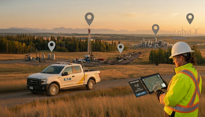
Why GIS-Native Operations Changed Everything
Reforestation work is inherently spatial. Every planting site has a specific location, a distinct set of monitoring requirements, and defined funders tied to it. Managing that work without a GIS layer means losing the most critical dimension of the data.
Matidor's Location Intelligence addressed the most pressing gap directly. Every active project is now visible as a polygon on the Matidor map, with photos, documents, and status information attached directly to each site. This transformed how Project Forest communicates with its board of directors and land partners. Instead of walking through a spreadsheet in a meeting, the team opens the map, zooms into a specific project, and shows exactly where it sits in the organization's development funnel.
"The visual! When I show our Board of Directors a tangible map that we can zoom into a project and see where it's currently sitting in our Funnel, makes it all make sense for everyone."
— Stephen Kaiswatum, Project Forest
The GIS capability also supports real-time field decisions. During land tours with partners, polygons are drawn directly on the map as the team walks or drives around a prospective site. That spatial data feeds immediately into planning: how many trees to request from nurseries, which species to prioritize, and how to allocate resources across the portfolio.
Four Matidor Capabilities Behind the Milestone
GIS Mapping and Location Intelligence
Location Intelligence maps every planting site as a live polygon with attached photos, documents, and status. Board presentations now run from the map directly, showing funders and directors exactly where each project sits in the development funnel.
Portfolio and Project Management
Project Management organizes all active work across three categories: Base Information, Primary Contact Information, and Project Specifics. The comments section functions as a living project log, updated daily with notes from site visits, meetings, and conversations. Documents including Letters of Support, Memoranda of Understanding, and monitoring photos attach directly to each project record.
Field Operations and Monitoring Assessments
Field Operations powers the monitoring and documentation work that follows every planting. Forms in active use include Monitoring Assessments, Planting Plans, Site Point Information, and Inspections. Tree Time staff update data directly in the field, tied to the exact site and the exact tree.
"Easier for employees of Tree Time to update the data on the exact site, on the exact tree."
— Stephen Kaiswatum, Project Forest
Budget and Cost Control
Budget and Cost Control provides the visibility Project Forest needs to manage funds responsibly across a portfolio with multiple funders and overlapping timelines. Looking ahead, Project Forest is planning a Power BI integration to build an interactive executive portfolio dashboard, a request already coming from corporate sponsors who want a single, real-time view of costs and project performance.
Results: Before and After Matidor

What This Milestone Means for Environmental Operations Teams
Project Forest's journey from Excel to one million trees on a live GIS map is a model for how environmental nonprofits, land managers, and conservation organizations can scale field operations without scaling complexity.
The core lesson applies beyond rewilding. Any multi-site environmental operation that manages field crews, monitoring requirements, funder reporting, and spatial data across dozens of active sites faces the same structural challenge Project Forest solved: the data is inherently geographic, and the tools need to match.
Managing rewilding at scale requires:
- Live spatial context so every site, species, and funder relationship is visible on the same map
- Offline-first mobile capture so field data ties to the exact location, not a spreadsheet cell
- Standardized monitoring forms that build a visual record across every site and season
- Portfolio dashboards that translate field progress into funder-ready reporting without manual compilation
Read the full Project Forest case study to see how this works end to end.
Ready to See Your Environmental Portfolio on One Live Map?
Whether managing reforestation sites, environmental assessments, or multi-site compliance programs, Matidor is built for field operations teams that need geographic context, offline data capture, and stakeholder-ready reporting in one platform.
- Start a free 14-day trial and map your first projects in under an hour
- Book a demo to see GIS mapping, monitoring forms, and portfolio dashboards built for your workflows
- Evaluate platform fit with Matidor's self-guided discovery tool
.webp)
.webp)
.webp)
.webp)
%20(2).webp)
.webp)
.webp)


.webp)

.webp)

.jpg)


%20(1).webp)


.jpg)

.jpg)
.jpg)
.jpg)


.jpg)