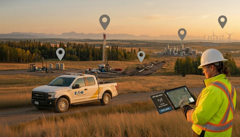
Matidor.com announces its partnership joining the Esri Partner Network. Matidor.com eliminates collaboration hurdles for people working in the field across different industries, such as the natural resource sector, including oil and gas. The platform consolidates all critical project information on one intuitive map-based dashboard with real-time updates that can be easily shared across various stakeholders, significantly reducing time and cost spent per project.
“We are more than excited to be a part of the Esri Partner Network, the global leader in location intelligence,” said Vincent Lam, the co-founder and CEO at Matidor.com. “By bringing the best of GIS and project management into a single platform, we bridge the gap between business and technical users, where geospatial information is often disjointed with operational data, especially in the field industries such as energy and environmental.”
The partnership would empower better geospatial intelligence for users currently on the Matidor platform.
“At Matidor.com, collaboration is a key part of our vision. We saw far too many companies struggling with working with each other on multiple projects because of limitations with product features and pricing model,” Vincent further describes the industry challenges and how the relationship between Matidor and Esri can be a game-changer for customers.
About Matidor.com
Matidor is a YC-backed project management software for projects where you need to see what’s happening live on a map. The platform eliminates collaboration and visibility challenges in the energy and environmental sector by consolidating all key project information on one intuitive, map-based dashboard, with real-time updates that can be shared between multiple parties.
As a featured finalist at TechCrunch and SXSW, Matidor’s interactive map interface uniquely meets the needs of field professionals: geospatial and project information relating to physical locations can be readily seen and understood by both technical and business audiences thanks to its intuitiveness and connectivity.
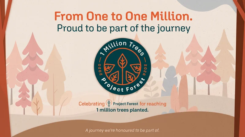
Recently, Matidor has been recognized by industry leaders in presenting their case study working with oil and gas operators to help achieve better operational efficiency compared to conventional GIS tools.
.webp)
.webp)
.webp)
.webp)
%20(2).webp)
.webp)
.webp)


.webp)

.webp)

.jpg)


%20(1).webp)


.jpg)

.jpg)
.jpg)
.jpg)


.jpg)