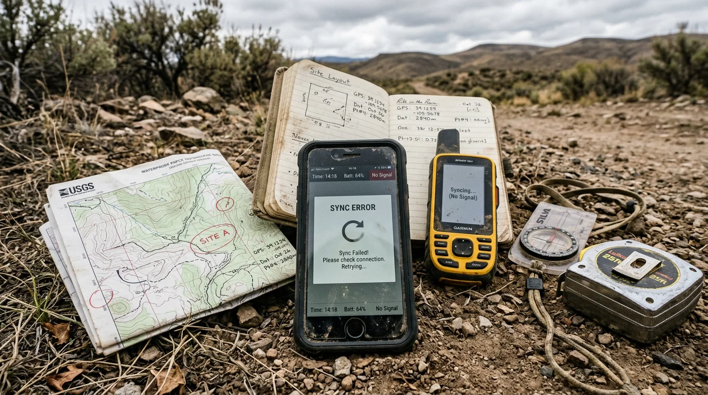

If you've ever stood at a remote site fighting a spinning loading icon while daylight burns, you already know the answer to the question this post is really asking: is your field app actually built for the field, or just built for a demo?
Most field apps look great in a sales pitch. Clean interface, smooth animations, a happy path that works perfectly when you're sitting in a conference room with full WiFi. Then you take it to an actual site with spotty signal, muddy boots, and a client waiting on a report, and the cracks show up fast.
Here are five things your app should be doing right now, counting down to the one that causes the most day-to-day friction. If it's not doing most of these, you're not alone, and you're not stuck either.
5. Actually work when you have no signal
This is the one every field app claims to have and the one most get wrong in a way that only shows up once you're standing in a spot with zero bars.
"Offline mode" and "offline-first" sound like the same thing. They're not. A lot of apps let you open a form offline, but the moment you try to attach a photo, pull up a previous record, or view a map layer that wasn't pre-downloaded, you hit a wall. True offline-first architecture captures forms, GPS coordinates, photos, barcodes, and signatures completely independent of connectivity, then saves everything locally and syncs once you're back in a connectivity zone stable enough to sync reliably, no manual export, no re-entry, no lost data.
If your app requires you to remember to "download the offline area" before you leave the office, and it still fails the moment you need something that wasn't in that download, that's not offline-first. That's offline-ish, and offline-ish is exactly what leaves technicians standing at a wellsite retyping notes into their phone's regular notes app as a backup.
4. Save locally and sync only when connectivity is reliable, not just detectable
Even a genuinely offline-capable app can fail you here. The real test isn't whether it works offline, it's how it handles the moment you get a signal back.
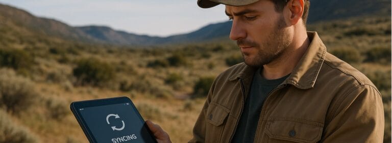
A well-built app doesn't rush to sync the second it sees one flickering bar. It saves everything locally first, then syncs once connectivity is stable enough to trust, protecting against partial uploads, corrupted records, or duplicate entries that happen when an app tries to push data over a weak, intermittent connection. That tradeoff is deliberate: a slightly delayed sync is a much smaller problem than a lost or corrupted field record, and prioritizing data integrity over speed is what keeps your records trustworthy when someone pulls them up for an audit six months later.
This matters more than it sounds like it should. Field teams working in remote oil and gas and environmental sites regularly operate completely outside cell coverage or in areas with weak, unstable signal, and the apps built for that reality treat sync as something that happens correctly, not just quickly.
3. Let you see what happened at a site last time, without a phone call
Picture this. You're standing at a monitoring well your crew visited two months ago. You need last visit's readings, the sampling plan, or a note about a damaged casing. If getting that information requires calling the office, or worse, waiting until you're back at a desk, your app is functioning as a data entry tool, not a field operations tool.
The difference between those two things is enormous. A data entry tool captures what happens today. A field operations tool gives you the full context of a site, historical inspection data, prior photos, asset status, and open issues, right there on your device, even if you're standing somewhere without signal.
This is also where a lot of "field apps" reveal that they were actually just digitized paper forms. Digitizing a form doesn't give you context. It just makes the same blind spot faster to fill out.
2. Talk to your GIS and mapping data, not sit next to it
A shocking number of field apps treat location as a single GPS pin dropped on a form, disconnected from any actual mapping layer, asset inventory, or spatial data your organization already has.
That's a missed opportunity, and it's also where a lot of rework happens. If your field data doesn't automatically populate onto a live map, tied to the actual asset or well it belongs to, someone in the office is manually reconciling coordinates against a separate GIS system after the fact. That's hours of work that shouldn't exist, and it's exactly the kind of task that introduces the data mismatches that show up later during an audit or a due diligence review.
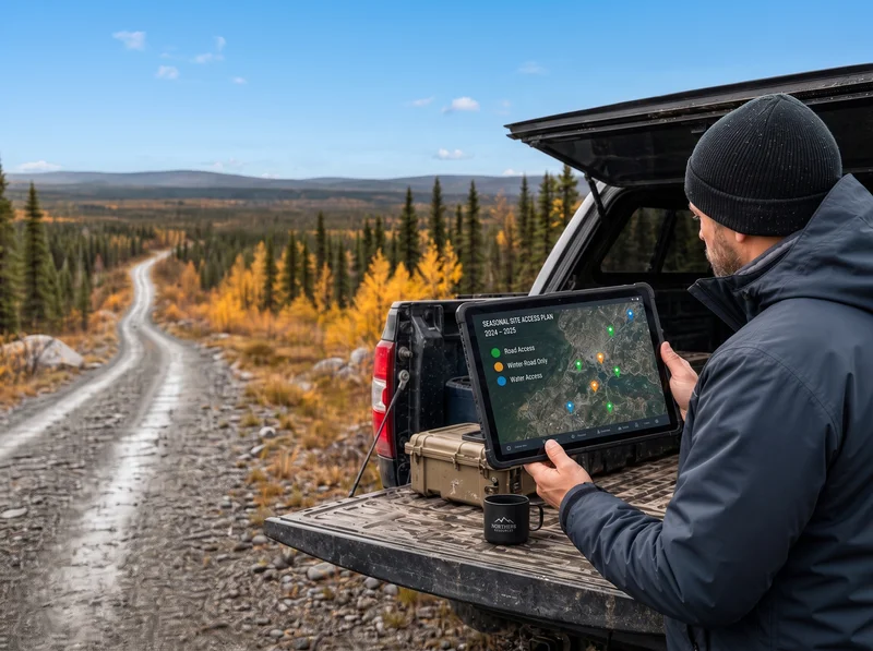
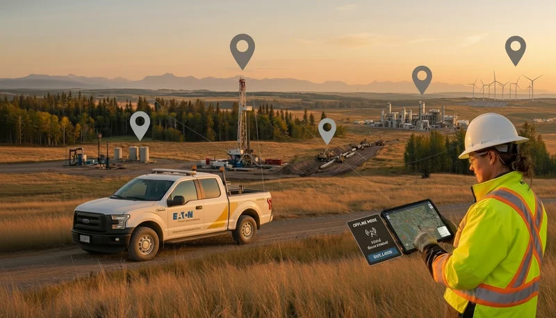
The apps that get this right let a technician see a map with existing site assets in the field, tap directly on a well or monitoring point to pull its history, and add new data that syncs back into the same spatial system everyone else uses. Not a separate spreadsheet. Not a second system someone has to update later.
1. Make status visible to the office without more phone calls
Here's the one that separates apps built for field workers from apps built to make managers feel informed.
If your project manager only knows where a job stands by calling or texting the technician, your app has failed at its most basic job: making status visible in real time. This is also usually the single biggest source of friction between field crews and the office, technicians constantly interrupted to give a verbal status update that should already be visible on a dashboard.
A field app that's actually doing its job updates job status the moment a technician marks something complete, flags an issue, or submits a form, no separate check-in required. That single feature change can eliminate a meaningful share of the "just checking in" calls that make fieldwork feel like it never actually ends at the end of the shift.
If your app can't do this, you're not alone
Most field teams are running a Frankenstein setup of a forms tool that doesn't talk to their GIS system, which doesn't talk to their reporting tool, which doesn't talk to whatever the office is using to track project status. That's not a personal failure of judgment. It's what happens when tools get added one problem at a time instead of chosen as a connected system.
The good news is that this is a fixable problem, not a permanent one. The five things above aren't exotic asks. They're the baseline of what a genuinely field-built app should already handle, and increasingly, what's available if you know what to look for.
Quick answers
Can my current field app be fixed, or do I need to replace it entirely?
It depends on the gap. If your app has solid offline capture but weak GIS integration, that's often an integration fix. If it's failing at true offline-first sync, that's usually an architecture limitation you can't patch your way out of.
How do I know if my app is "offline-first" or just "offline-ish"?
Try this test: turn off your phone's connectivity, open the app, add a photo to an existing record, then check a historical entry from a different site. If either of those fails or requires something you pre-downloaded, it's offline-ish.
Is GIS integration really necessary for a small field team?
Even small teams accumulate site history fast. The value of GIS-linked data isn't about team size, it's about whether anyone can trust your location data six months from now without re-verifying it manually.
What's the fastest way to audit our current app against this list?
Take one real technician on your team, hand them this list, and ask them to walk through their actual last week of fieldwork against each point. Their answers will be more honest than any vendor demo.
See what a field app built for actual field conditions looks like
If your current tool is failing more than one of the five checks above, that's not a reason to settle. It's a reason to see what a system built around real field conditions, not a sales demo, actually looks like.
Book a demo and put your hardest site conditions to the test against a platform built for offline-first capture, live GIS integration, and real-time status visibility.
Start a free 14-day trial and run your next job with a field app that's designed to work where you actually work.
.webp)
.webp)
.webp)
.webp)
.webp)
.webp)
.webp)
.webp)
.webp)
.webp)
%20(2).webp)
.webp)
.webp)
.webp)
















.webp)

.webp)

.jpg)

%20(1).webp)



.jpg)

.jpg)
.jpg)
.jpg)

.jpg)