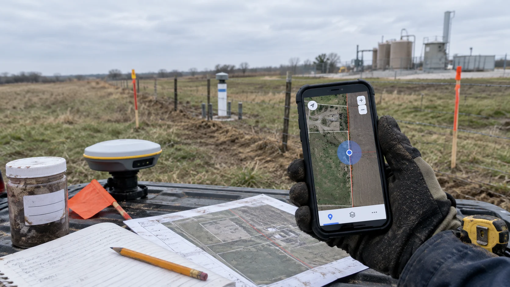

A GPS point can look right on a map and still be wrong for the decision being made.
During routine fieldwork, that difference is easy to overlook. A technician records a coordinate, the marker appears roughly where expected, and the work continues.
But what happens when that point is later used to connect a sample to a property, define the edge of contamination or support a regulatory report?
That is when “close enough” can become difficult to defend.
A Point Near the Boundary
Consider a hypothetical environmental consulting firm investigating a former industrial property.
A technician collects a soil sample near the eastern property boundary. Their phone records a GPS coordinate, and the point appears on the project map.
The signal is weak beside a metal-sided building, but the location looks reasonable. The technician does not record the device-reported accuracy, how the point was collected or whether it was captured directly over the sample location.
The laboratory later reports an exceedance. On the map, the sample appears just inside the client’s property.
Months later, the neighbouring property owner challenges that interpretation. Their consultant compares the sample point with a surveyed boundary and argues that the coordinate may place it on the wrong parcel.
The field photograph provides context but does not prove the exact sampling location. The notes say “east fence,” but no one confirmed that the visible fence represented the legal boundary.
The disagreement is no longer only about what the laboratory found. It is also about where the sample came from, which property it represents and whether the original observation can be reconstructed.
The team may now need to revisit the site, involve a licensed surveyor, revise its figures and reassess its conclusions.
The expensive part was not simply that the coordinate was approximate. It was that the team could not explain its accuracy, limitations or connection to the intended location.
When Accuracy Matters
More decimal places do not necessarily make a coordinate more accurate.
Accuracy describes how close a recorded point is to its true position. Precision describes how closely repeated readings agree. A device can produce consistent readings that are all offset from the actual location.
Field conditions add more uncertainty. Tree cover, terrain, buildings, vehicles, metal infrastructure, satellite visibility and device hardware can all affect GPS performance.
That does not make phone-based GPS unsuitable for environmental work. It means the required accuracy depends on the decision the data must support.
A mobile coordinate may be appropriate for documenting general site access, an inspection area or where a photograph was taken. It may not be enough to determine which side of a legal boundary contains a sample.
The same concern applies near rights-of-way, wetland boundaries, buried infrastructure, monitoring wells, excavation limits and contamination boundaries.
The closer a point is to a consequential line or feature, the more important it becomes to understand how that location was collected.
What Makes Data Defensible
Approximate coordinates do not automatically create legal liability. The risk increases when they are treated as more authoritative than their collection method supports.
If a location is challenged, someone may ask:
- How was the coordinate collected?
- What device or receiver was used?
- Were positioning conditions poor?
- Was an accuracy estimate recorded?
- Was the point taken directly over the feature?
- Was it checked against an authoritative spatial source?
- Can it be connected to the correct sample, photograph and field note?
- Was it edited after the field visit?
A defensible location needs context.
The coordinate should remain connected to the project, site, asset, sample, technician, timestamp, photographs, forms and notes. For higher-risk locations, the record should also preserve the collection method, available accuracy information and any conditions that may have affected positioning.
A coordinate without that supporting record is just a pair of numbers. It may display a convincing point, but it cannot explain how the point was created or whether it was suitable for its intended use.
This becomes especially important when data moves between technicians, project managers, GIS specialists, laboratories, clients, regulators and legal teams. Every handoff creates another opportunity for the location to become separated from its original context.
The Cost Appears Later
“Good enough” field data often looks inexpensive because the cost is delayed.
The field visit finishes on schedule. No one pauses to verify the point. The report is issued, and the project closes.
The cost appears when someone later relies on that location for a higher-stakes decision.
A regulator may question the sample location. A purchaser may compare the project map with a current survey. A contamination interpretation may appear to cross a parcel boundary.
The team then spends more time reconstructing the location than it would have spent documenting it properly in the field.
Even without litigation, weak spatial records can lead to additional sampling, repeated site visits, delayed approvals and reduced client confidence.
The problem is not simply that the point was approximate. The problem is that its limitations remained invisible until the location mattered.
What Accuracy Requires
Reliable location data starts by asking what the point will be used to support.
For routine operational documentation, integrated mobile GPS may be appropriate. GPS-tagged photographs and field records help establish where work occurred and connect observations to the correct project or asset.
When a decision depends on a legal boundary or narrow positional tolerance, a mobile coordinate may not be sufficient. The project may require survey control, survey-grade GNSS, independent verification or a licensed land surveyor.
Accuracy also requires a workflow that preserves context.
The point should remain connected to the technician, collection time, sample identifier, photographs, forms and notes. Relevant accuracy information and positioning conditions should be retained when available.
Authoritative spatial layers must also remain distinguishable from field observations. Displaying a planning boundary, surveyed boundary and mobile GPS point on the same map does not make them equally accurate or legally authoritative.
Questionable locations need a review path as well. If a point conflicts with a surveyed boundary or falls outside the expected work area, the original record should be preserved while the discrepancy is investigated.
Quietly moving a marker until the map looks right may improve the figure, but it weakens the history behind the data.
A defensible location is more than a coordinate. It is a coordinate connected to an appropriate collection method, supporting field evidence and a record of who captured or changed it.
Build the Record Early
Most approximate GPS points will never become part of a legal or regulatory dispute.
The challenge is that field teams rarely know which location will matter later.
The answer is not to collect every observation with survey-grade equipment. It is to match accuracy to risk and preserve enough context to explain how each consequential point was created.
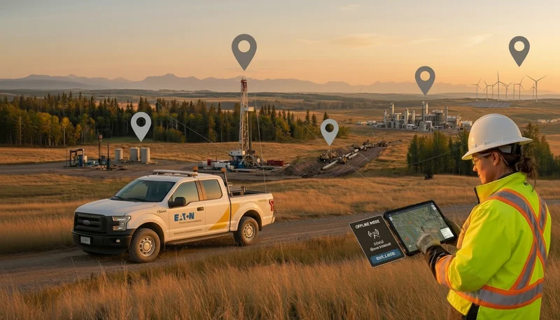
Matidor connects GPS-tagged observations, photographs, notes, project records and GIS context in one map-based field workflow. Field information can be saved locally when crews are offline and synchronized when connectivity is reliable.
That does not turn a mobile device into survey equipment. It creates a clearer operational record of where work happened, what was observed and which project or asset the information belongs to.
When a location affects a legal boundary or another high-accuracy decision, authoritative survey information should support the record rather than be replaced by an approximate mobile point.
The best time to make field data defensible is not after a coordinate is challenged. It is while the technician is still at the site.
Book a demo to see how Matidor connects field observations, project records and GIS layers in one traceable workflow.
Start a free 14-day trial and test map-based field data collection using your own sites.
This article provides general information about field data management. It is not legal or surveying advice.
.webp)
.webp)
.webp)
.webp)
.webp)
.webp)
.webp)
.webp)
.webp)
.webp)
.webp)
%20(2).webp)
.webp)
.webp)
.webp)

















.webp)

.webp)

.jpg)


%20(1).webp)




.jpg)

.jpg)
.jpg)
.jpg)

.jpg)